If you've ever stared longingly at a map or fiddled with a GPS just for fun, you've experienced the sense of adventure that drives the CU Denver Geography & Environmental Sciences faculty's research pursuits. We are literally a global operation, yet our work product can be intensely local, helping communities of all sizes to make plans for the future.
Some of our work capitalizes on our serendipitous location in Colorado, where plains and mountains meet. Other projects take us as far as China or (by virtual means) into earth orbit. Wherever we cast our gaze, one thing is for sure: students benefit from contact with world-class faculty and technology.
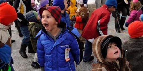
In Support of Child-Friendly Cities: Identifying and Applying Geospatial Technologies to Represent Children's Sense of Place
PETER ANTHAMATTEN, BRYAN WEE
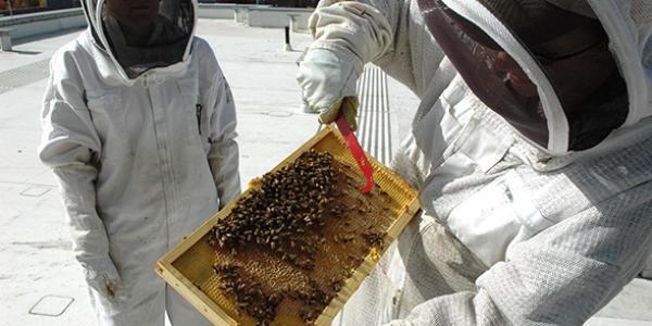
Researchers abuzz about bee health
CHRISTY BRILES
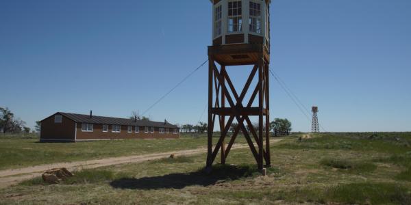
Tourism to Shadowed Pasts: Sand Creek, Ludlow, Camp Amache
RUDI HARTMANN
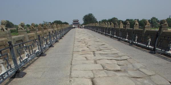
An Examination of Tourism to Lu Gou Qiao ('Marco Polo Bridge')
RUDI HARTMANN
Lu Gou Qiao, a historic (12th century) bridge South of Beijing, saw the outbreak of the Second Sino-Japanese War with close to twenty million fatalities (mostly among civilians) during 1937 and 1945. A "Memorial Hall of Chinese Anti-Japanese Resistance" in the Town of Wanping next to the bridge has drawn millions of domestic tourists to this museum established in 1987. The present study conducted jointly with Dr. Ming Ming Su from Renmin University Beijing examines the visitation to the museum and the bridge site.
A main research question is what motivates tourists to the bridge, an attraction in itself with about 500 stone lion sculptures along an old cobblestone pathway, to combine it with a Memorial Hall visit. Is it a heart-felt patriotic duty and educational 'must' recommended by the group leaders or is it 'dark tourism', a curiosity to encounter death, human tragedy and catastrophe. Further, it s planned to conduct investigations into recently changed Japanese tourist behaviors and the relatively low recognition of the site by Western travelers. Surveys and qualitative interviews at the bridge as well as an analysis of Memorial web site are part of the empirical research.
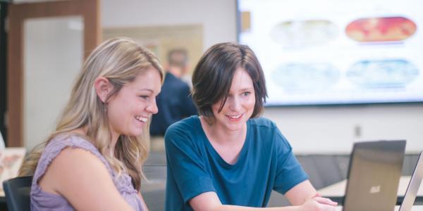
Building Web-Based Spatial Information Systems Around Open Specifications and Open Source Software
RAFAEL MORENO, GEOFF ANDERSON
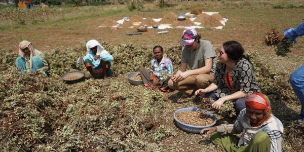
Mobilizing Cooking Technologies for Development: An Analysis of Climate Policy
GREGORY SIMON
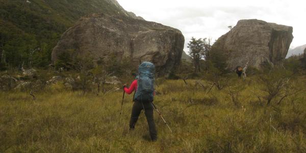
Health Effects of Living at Altitude
DEBORAH THOMAS, BENJAMIN HONIGMAN AND ROBERT ROACH
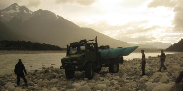
The Production of Urban Vulnerability: A Focus on Urban/Wildland Interface Wildfires
GREGORY SIMON
This research aims to explicate (1) how conditions of vulnerability are more than indicators of risk and exposure but are also produced over time through complex planning histories; (2) how urban vulnerabilities are produced through alliances between conservation and economic development interest groups; and (3) how conditions of vulnerability contribute to and shape the management of urban environments through strategies of exploitation, accumulation, politicization and resistance.
Currently, I am applying this analytic framework to assess why cities in the U.S. West have historically sprawled into fire prone areas. Using historical and spatial data, this project analyzes the production of vulnerable places and populations to urban/wildland interface wildfires around the West. (I am currently focusing on the Oakland/Berkeley Hills region.) Research details how landscape change, institutional use of scientific knowledge, ecological management practices and urban growth policies converge to establish vulnerability-inducing development trajectories.
