The Facility for Advanced Spatial Technology is a collaborative and interdisciplinary spatial analysis, cartography, and geovisualization teaching laboratory that forms the core of geospatial teaching activities on the Downtown Campus at the University of Colorado Denver. The FAST is sustained by a long-standing partnership between the College of Liberal Arts and Sciences (CLAS) and the College of Architecture and Planning (CAP) and receives additional support from the Auraria Library, the College of Engineering and Design Computing (CEDC), and the School of Public Affairs (SPA).
This interdisciplinary laboratory provides students with access to industry-leading geospatial faculty, staff, professionals, and fellow peers from more than twenty departments across the University and operates as one of the most robust geospatial teaching facilities in the Colorado Front Range.
Our physical location is:
- 5th floor, North Classroom Building
- Suite 5032-C
- 1200 Larimer Street
- Denver, CO 80217-3364
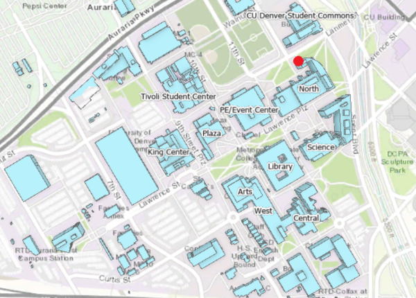
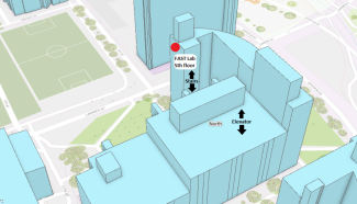
Credit: Maps created using ArcGIS Online. Esri basemap.
Click Here for Parking and Accessibility Map

