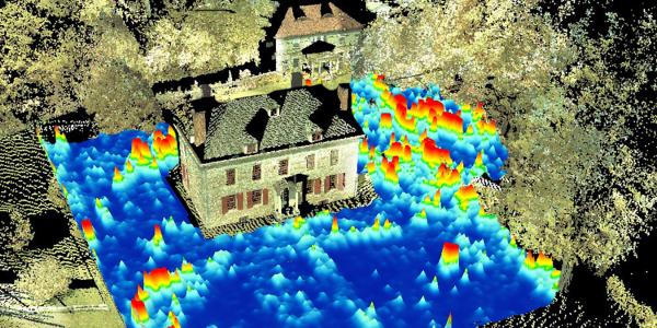
Geophysical Archaeology (also known as Archaeological Prospection) uses instruments such as ground-penetrating radar, magnetometry, resistivity, and conductivity to record information about below ground features without or before excavating. Geophysical archaeology data are often gathered using a grid system of survey units 20 m x 20 m with some recent advances using RTK-DGPS to rapidly collect data using RTVs to tow the instruments across the site. The instruments are moved along a transect (a straight line) while taking a reading every 2 cm or so. After reaching the end of the transect line the instrument is turned around and moved over 5 cm, 10 cm, 25 cm, or 50 cm and data are then collected while travelling back along this new line. Due to the dense sampling of data post-acquisition plots can reveal details about information of interest below the ground. Building foundations, road and walkways, storage pits, human graves, and locations where people had fires are just a few of the human-made sub-surface features that geophysical archaeology can identify.

Rockaway Presbyterian Cemetery, NJ
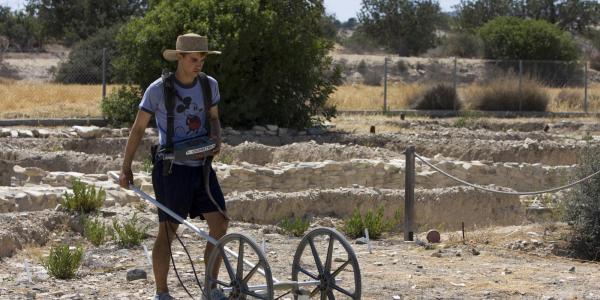
Kalavasos and Maroni Built Environments Project, Cyprus
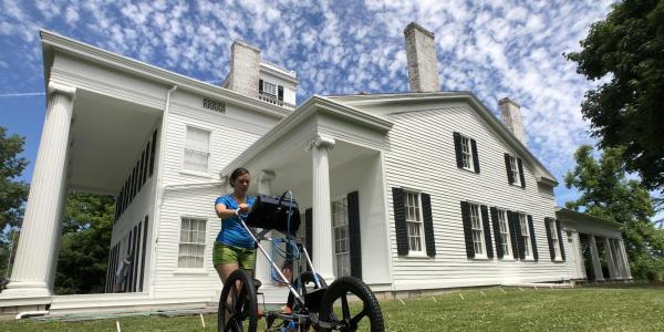
Rose Hill Mansion, Geneva, NY
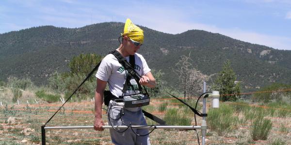
Gila Encantada Village Site, NM
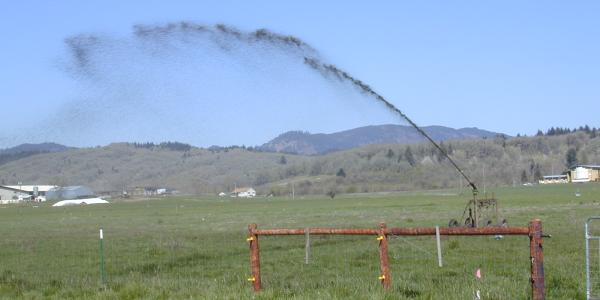
Oregon Drainage Infiltration Project, OR
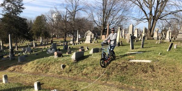
Liverpool Village Cemetery, NY